Tornado + Severe Wind
Evaluate outdoor-alert coverage for fast-moving severe-weather events.
 Tillotson
Spatial Systems
Start a Project
Tillotson
Spatial Systems
Start a Project
Outdoor Warning + Hazard Planning
Outdoor warning systems are not just tornado sirens. They are part of a broader public-alerting strategy for people outside, at parks, schools, events, work sites, road corridors, and other places where a fast attention-getting cue matters.
What This Solves
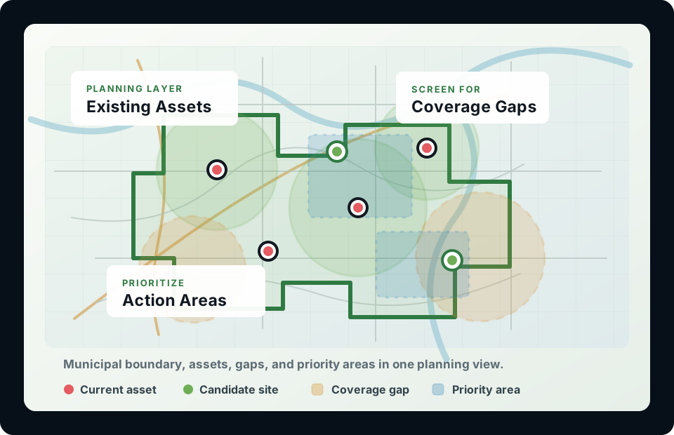
Many warning networks grow one site at a time. That can leave gaps, redundant overlap, and hard-to-explain capital requests. This work turns the question into a map-based comparison of coverage, tradeoffs, cost, and practical constraints.
Evaluate outdoor-alert coverage for fast-moving severe-weather events.
Plan sirens and other outdoor alerts for location-specific hazards.
Compare defensible scenarios for grants, budgets, boards, and public discussion.
Glenpool Case Study
This case-study demonstration evaluates an outdoor warning siren network using GIS, sound modeling concepts, equity-weighted demand, outdoor activity areas, and budget-constrained optimization.
Interactive Web Map
Toggle SPreAD-GIS rasters, baseline coverage, budget scenarios, and best-case layout benchmarks inside the map.
| Scenario | Sirens | Population Coverage | Outdoor-Space Coverage | Modeled Cost | Key Takeaway |
|---|---|---|---|---|---|
| 2024 Existing | 12 | 52.37% | 43.14% | Existing system | Significant gaps remain. |
| 2025 Expansion | 13 | 73.28% | -- | Expansion cost | Improved, but not optimal. |
| Optimized Scenario | 12 relocated | 82.13% | 81.21% | $32,500 | Best modeled result |
Adding infrastructure improved coverage, but strategic relocation produced a stronger modeled result within the tested budget. The analysis also elevated parks, schools, athletic facilities, and other outdoor gathering areas as explicit planning priorities.
Beyond Tornado Sirens
Sirens should not be treated as the whole warning message. They are an outdoor attention cue that should point people toward shelter and additional information from trusted alerting channels.
Evaluate outdoor audibility, gaps near growth areas, schools, parks, and public gathering places.
Plan alert coverage around flood-prone corridors, parks, trails, campgrounds, or isolated hazard zones.
Compare warning reach for outdoor workers, nearby neighborhoods, staging areas, or evacuation routes.
Support preparedness planning for ballfields, festivals, school facilities, sports complexes, and parks.
Service Options
These can be scoped as a quick planning review, a defensible report, a board-ready capital planning package, or a deeper technical model.
Package 1
Map the current system, summarize likely coverage, and identify obvious gaps or redundant overlap.
Package 2
Use terrain, land cover, ambient noise, siren characteristics, and weather assumptions to model outdoor audibility.
Package 3
Combine modeled coverage with optimization to compare relocation, replacement, expansion, and budget scenarios.
Package 4
When the decision is specifically where to place the next new siren, rank candidate sites against local priorities.
Package 5
Adapt the coverage analysis to tornadoes, flood-prone locations, hazmat corridors, venues, or outdoor facilities.
Package 6
Turn the technical work into clear maps, tables, and narrative that support public-safety funding decisions.
Workflow
The technical model is only useful if the final product is easy to understand, defend, and update.
Collect siren locations, models, alerting purpose, boundaries, population, outdoor areas, and local constraints.
Estimate coverage using the right level of detail, from planning zones to acoustic sound propagation.
Compare move, add, replace, and new-placement scenarios under realistic budget and siting assumptions.
Deliver maps, dashboards, metrics, and plain-language recommendations for staff and public discussion.
Start With the Decision
Send the location, the decision you are facing, and any existing siren, hazard, population, or facility data you already have.