Local Government Capabilities
Practical GIS help where local governments actually need it.
Work can start with one map or one messy workflow, then grow into a
dashboard, web map, automation tool, Esri cleanup effort, or deeper
analysis package when the decision requires it.
Maps + Communication
Custom Maps and Public Web Maps
Create clean PDF maps, interactive web maps, and public-facing map
products that help residents, boards, and staff understand a place.
Best for
- Council packets, grant exhibits, and public meetings.
- Planning, zoning, parks, drainage, roads, and assets.
- Website-ready maps that are easier to maintain.
Dashboards
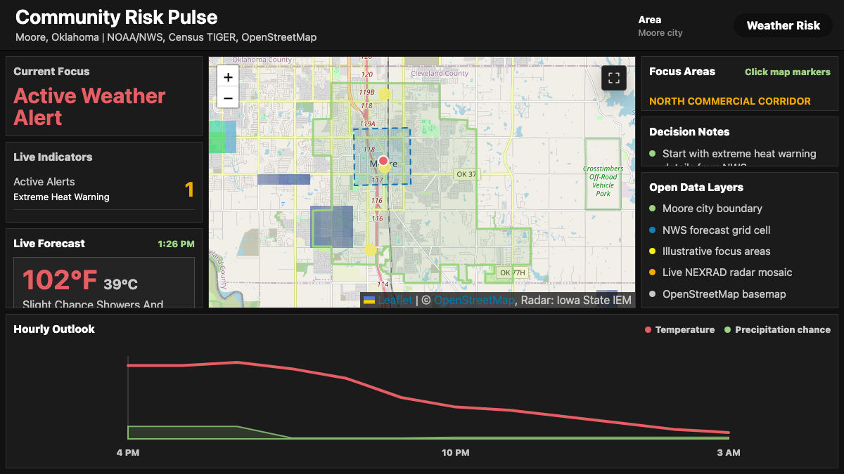
Live Dashboards and Reporting Views
Build dashboards that combine maps, status indicators, charts, and
plain-language summaries for staff briefings or public transparency.
Best for
- Weather-aware operations and daily situational awareness.
- Project status, inspections, assets, and service requests.
- Simple public reporting without a custom backend.
Esri Systems
ArcGIS Online, Enterprise, and Workflow Consulting
Help organize layers, apps, groups, permissions, publishing
patterns, field workflows, and practical governance for Esri-based
GIS environments.
Best for
- Cleaning up confusing portals or content libraries.
- Setting up repeatable publishing and field collection patterns.
- Making ArcGIS tools easier for non-GIS staff to use.
Automation
Custom ArcGIS Pro Add-ins and Scripts
Turn repetitive GIS, data cleanup, mapping, reporting, or QA tasks
into scripts, tools, or ArcGIS Pro add-ins that staff can run again.
Best for
- Routine map production and layer updates.
- Quality checks, exports, reports, and repeatable geoprocessing.
- Custom buttons or panes inside ArcGIS Pro.
Spatial Analysis
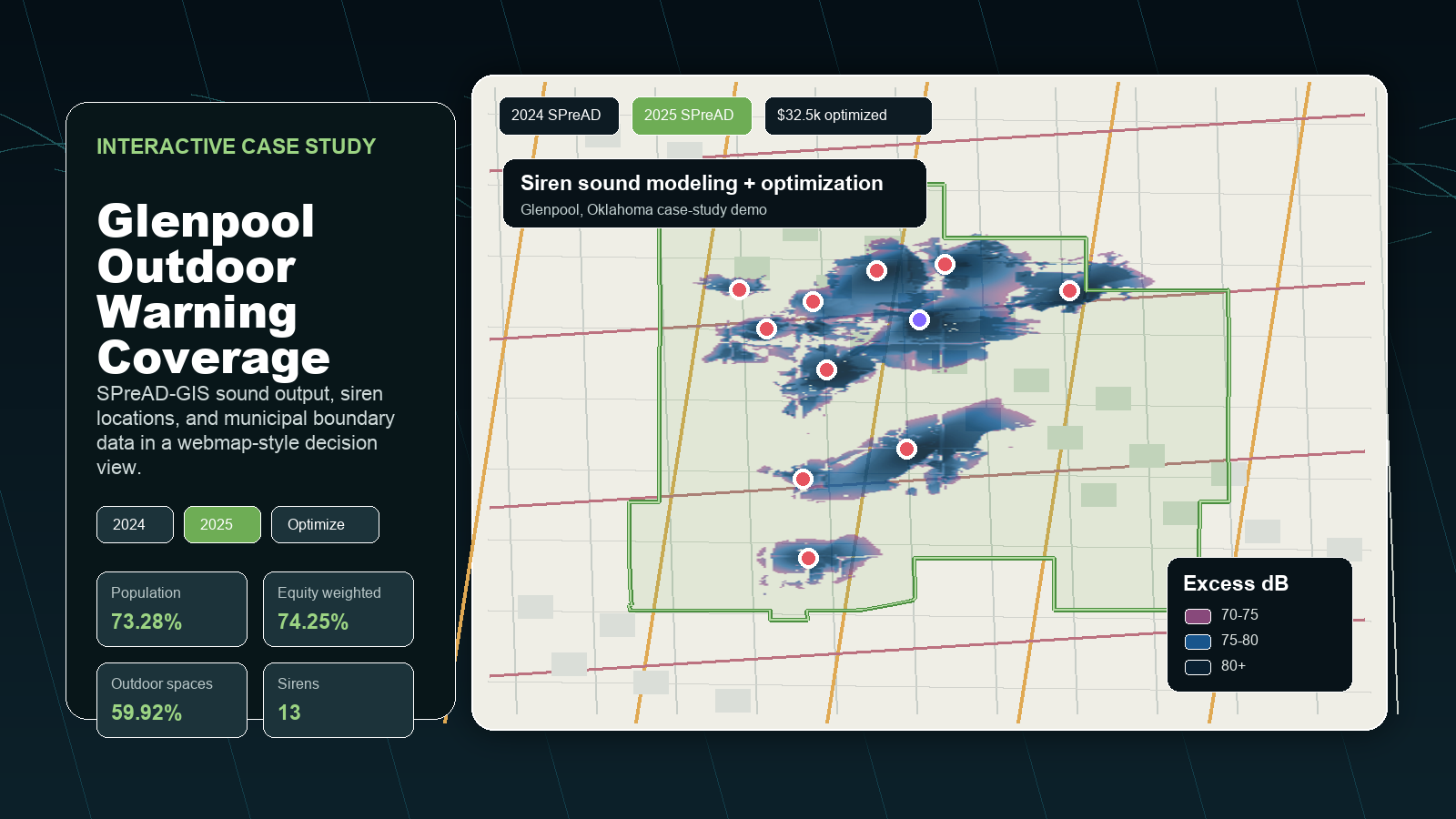
Planning, Risk, and Site Analysis
Combine parcels, population, hazards, terrain, imagery, infrastructure,
and local constraints to compare options before a decision is made.
Best for
- Capital planning and grant support.
- Growth areas, service coverage, and site selection.
- Explaining tradeoffs to leadership or the public.
Data Support
GIS Data Cleanup and Documentation
Improve messy layers, attributes, naming, schemas, and map services
so staff can trust the data and keep using it after the project.
Best for
- Preparing data for dashboards, field apps, or public maps.
- Standardizing layers across departments.
- Documenting workflows for continuity.